Showing posts with label Maps. Show all posts

Saturday, April 1, 2023

A Holiday Review of Read a Road Map Day

Take a step back in time and use a paper road map to plan a trip. Read a Road Map Day is celebrated on April 5 each year.


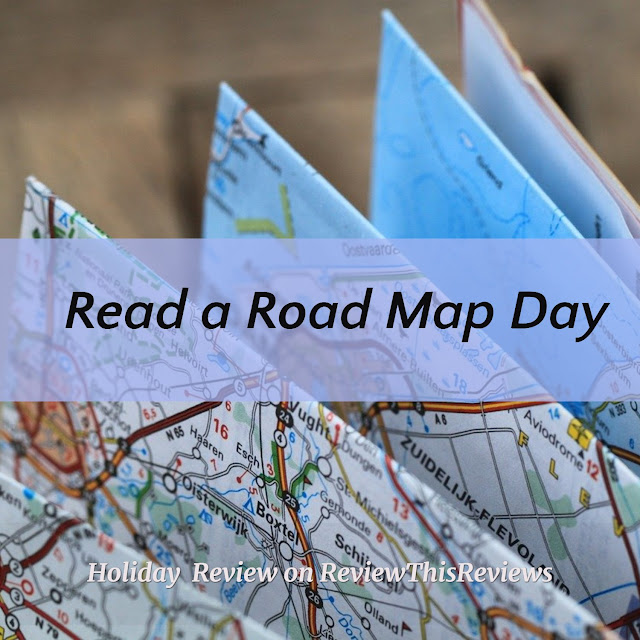
Image of a road map


Almost everyone has a GPS these days, even on our cell phones, which gets us to our destinations quickly, in the shortest manner. This works great for finding locations when needed.  But is your trip about a destination, or would you like to go on a journey?


Road maps are more than just directions to a destination.  They help us plot a fun journey and allows us to have a pleasant experience.  By getting off today's superhighways, we can identify and discover small and interesting towns or historic sites. 


How to Celebrate Read a Road Map Day


On April 5th, the designated day for 'Read a Road Map Day', get out your Rand McNally Road Atlas, your state map or a map of your city and take a Day Trip or a weekend trip to someplace you haven't been. 


car on a road map image
Or just use a spinner and let it find you a direction to take, get in your car and begin driving. Your map will show you what is ahead in the direction you are going. Stop in one of the next small towns you go through and see what you can find. Perhaps a local diner that has been there forever will be the perfect place to stop for lunch. Maybe a statue in the town square will give you a bit of history of the place. 


There are many interesting sites (and sights to see) that can be found on road maps. City maps often show the location of art museums, historic sites, and parks & lakes in your own town. Go visit one or more on a weekend. Take the family and expand your children's horizons. Depending on the size of your town, I'll bet there are many places you have never visited. And a state map has a wealth of information for going on a sightseeing road trip. What does your state have to offer? Have you ever visited your State Capital, for instance?


Summary


image of a magnifying glass and car keys on a road map

So use April 5 – the date of the holiday Read a Road Map Day – and go get a city, state or national map to decide on an interesting way to have an adventure or simply a fun Daycation.  


Related Link:


+All Images courtesy of Pixabay.com 


*Read a Road Map Day review written by Wednesday Elf


>


Note: The author may receive a commission from purchases made using links found in this article. “As an Amazon Associate, Ebay (EPN) and/or Esty (Awin) Affiliate, I (we) earn from qualifying purchases.”


Saturday, January 4, 2020

Rand McNally Road Atlas Review

Rand McNally Road Atlas
The ultimate road trip accessory

In today's technological world, road maps and directions are available on GPS devices and Smartphones under the Google Maps app. They are also available as built-in accessories to the newer automobiles. Voices announce the turns for us via satellites without the need to read a map.  Other travel information is available on these devices, such as where to locate a restaurant or hotel/motel. You might say that printed maps are no longer necessary. I disagree. 

Maps have been around for hundreds of years, dating back to early explorers when some thought the world was flat and maps stated the edge of the known world with pictures of dragons  (“Here there be dragons”) for the uncharted territory.


Road Trip


Weather conditions on a road trip
Weather Condition Images from Pixabay

On a recent road trip in early November, while traveling north from St. Louis, Missouri to my home in the Quad Cities of Iowa, I encountered first rain, then snow, making the 4+ hour trip quite hazardous. I was using the map app on my Smartphone when ice began to accumulate and suddenly I lost all connection to the internet. I do not know if the cell towers were affected or if the information beaming down from a satellite could not get through, but I was saved by the fact that I had brought along my Rand McNally Road Atlas.  


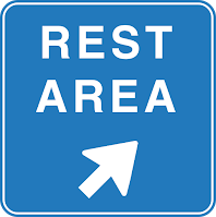
Rest Area sign
Source: Pixabay
The most helpful part of the road map was that it showed me where rest stops were located.  Because of the weather, I needed to stop at several rest stops to clean the ice off my windshield wipers and kick the accumulated snow/ice pack from around the bottom of my car. (Many other motorists were doing the same). So much slushy ice & snow was thrown up from the road and from passing trucks that it was becoming packed around my wheel wells due to immediate freezing from temperatures which had dropped into the 20's. Big blocks of it were sticking out touching my tires. And, despite  having new windshield wipers, the ice accumulation on the wipers prevented them from clearing the windshield enough to see well. I had to constantly stop and clean off my windshield with paper towels and water in my water bottle! It was a mess. 

I eventually made it safely home a couple hours later than normal, but I was grateful that I could easily locate each rest area to clean off the car. Luckily I knew what highways to take, having made this trip many times, but it was handy to be able to check the route via my Rand McNally Road Atlas without a working GPS monitor. 


History of Rand McNally


The Rand McNally Road Atlas has been in publication for over 160 years.  The company  began in 1868 when Andrew McNally and William Rand (Rand McNally) took over the Chicago Tribune's printing shop and began to print tickets and timetables for Chicago's booming railroads, which are the nation's premier railroad hub. 


  • In 1904, Rand McNally published the very first automobile road map. It was of New York City and it's vicinity.
  • On a map of Peoria, Illinois in 1917, the company debuted a new highway numbering system which eventually became the model for the system used across the United States today.  
  • The first full-color Rand McNally Road Atlas premiered in 1960.


Throughout the years, the company continued to publish railway tickets and timetables. They have expanded over time to include many products used extensively today by many industries.  By merging with or acquiring other companies in the field, they developed an electronic system for delivery of routing and mileage information to the trucking industries (1980), are now a leading school map and globe publisher (1984), and are a leading producer of consumer and business-to-business maps and atlases (1993).  They also introduced TripMaker® software (1994) and StreetFinder® street navigation software (1996)  for travel planning on personal computers. 

These are just a few of the many products Rand McNally produces today.  Here is a handy link if you want to read all about their interesting history. 


Summary


maps
Source: Pixabay

In 2016, Rand McNally celebrated its 160th birthday and 80th year in the commercial transportation market. I have done a lot of traveling from one side of this great country to the other in my life and have always had a current road atlas.  Even with today's helpful electronics and technology, having a real 'map' I can look things up on is a standard accessory for my 'road trips'. My most recent trip in terrible Midwest weather in November proved to me that the Rand McNally Road Atlas is a travel necessity.


Rand McNally Road Atlas book cover


The Rand McNally Road Atlas can be found on Amazon by clicking here


*Product Review of the Rand McNally Road Atlas written by Wednesday Elf on 1/4/2020. Updated 3/21/2023 


Note: The author may receive a commission from purchases made using links found in this article. “As an Amazon Associate, Ebay (EPN) and/or Esty (Awin) Affiliate, I (we) earn from qualifying purchases.”


Most Recent Reviews on Review This Reviews


Search for Reviews by Subject, Author or Title

The Review This Reviews Contributors


SylvestermouseSylvestermouseDawn Rae BDawn Rae BMbgPhotoMbgPhotoBrite-IdeasBrite-IdeasWednesday ElfWednesday ElfOlivia MorrisOlivia MorrisTreasures by BrendaTreasures by BrendaThe Savvy AgeThe Savvy AgeMargaret SchindelMargaret SchindelRaintree AnnieRaintree AnnieLou16Lou16Sam MonacoSam MonacoTracey BoyerTracey BoyerRenaissance WomanRenaissance WomanBarbRadBarbRadBev OwensBev OwensBuckHawkBuckHawkDecorating for EventsDecorating for EventsHeather426Heather426Coletta TeskeColetta TeskeMissMerFaeryMissMerFaeryMickie_GMickie_G


Review This Reviews is Dedicated to the Memory of Our Beloved Friend and Fellow Contributor

Susan DeppnerSusan Deppner

We may be apart, but
You Are Not Forgotten


“As an Amazon Associate, Ebay (EPN) and or Etsy (Awin) Affiliate, I (we) earn from purchases.” Disclosure Statement

X